Services

Commercial Progress Tracking
Keep your construction or roofing projects on schedule and well-documented with our Commercial Drone Progress Tracking services. We provide regular high-resolution aerial imagery and video updates, giving you clear and detailed visuals of your project’s progress from start to finish.
Why Choose Us?
-

When Free Falls Short
Google Earth is a free tool, but it often falls short in providing the accuracy, quality, and up-to-date imagery required for professional projects.
-

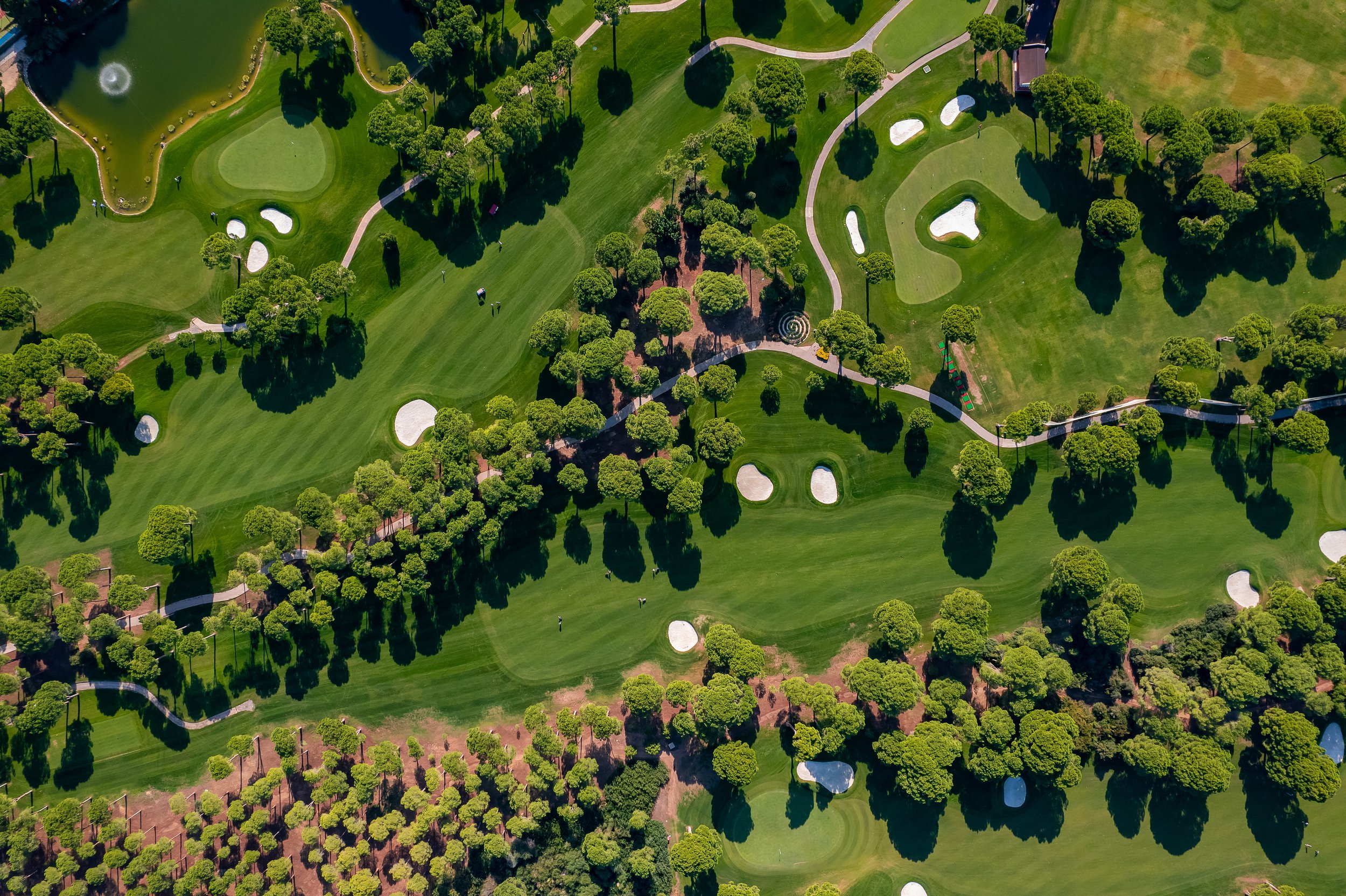
High-Quality 2D Orthophoto
Our 2D orthophoto services deliver fast, up-to-date maps wherever a Micro-Drone can fly. Get near accurate, detailed aerial visuals for your projects.
-

Elevation & 3D Photogrammetry
Our Aerial Complete Package, includes a 2D elevation map and a 3D photogrammetry model, offering more visual insight without you needing to be on site.
Orthophoto Sample
Explore this interactive map to see high-quality drone orthophoto overlaid on Google Earth. Adjust the opacity at the bottom to compare the drone-captured details with the base map. Zoom in, rotate, and switch to 3D mode in the bottom right to view a full 3D photogrammetry model of the building. You can also toggle between different views at the top, including the plant health and surface model analysis. Have fun exploring!
Commercial Aerial Photography (Coming Soon)
Showcase your business from a whole new angle with our Commercial Drone Photography services. We capture high-resolution aerial images of your business, highlighting its unique features and surroundings. These stunning visuals are perfect for promoting your brand on social media, enhancing your website, or supporting marketing efforts with other agencies.
Whether you're a small business, a large corporation, or anything in between, our drone photography helps you stand out and make a lasting impression.

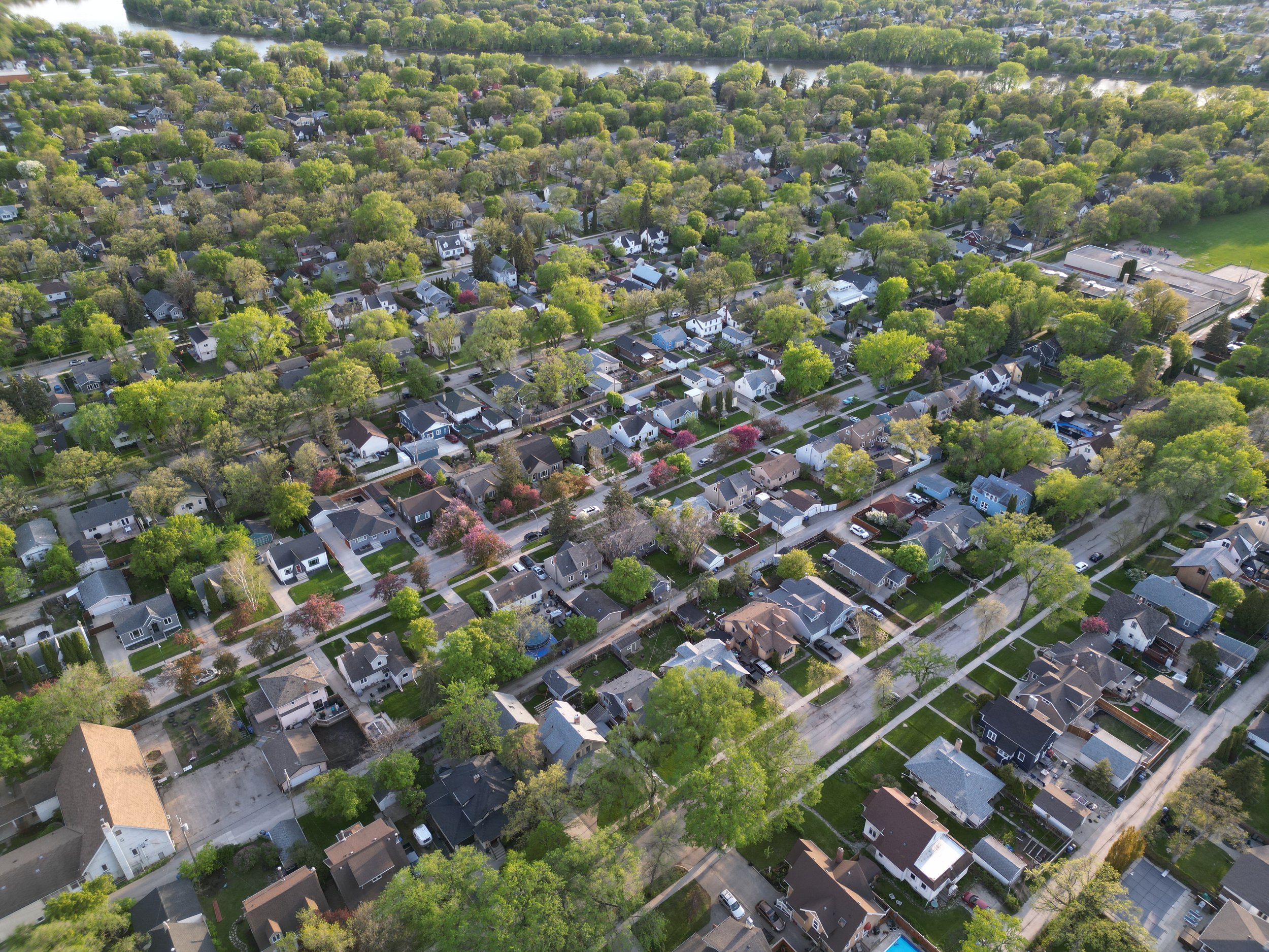
Real Estate Drone Solutions
Elevate your property listings with our Real Estate Aerial Solutions. We provide high-quality aerial photos and videos that capture your properties from every angle, showcasing their unique features, land, and surroundings.
These visuals are designed to help realtors attract more buyers, create stunning online listings, and close deals faster. Make your properties stand out with captivating aerial perspectives that leave a lasting impression.